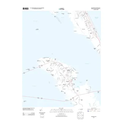
1953 Map of Manteo
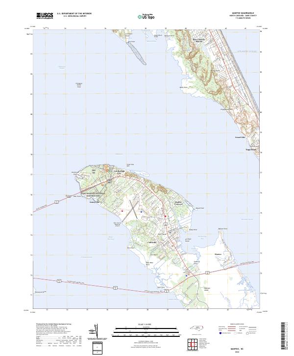
USGS Topo · Published 1984About this map
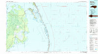
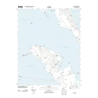
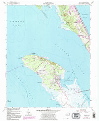
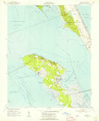
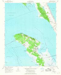
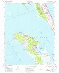
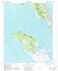
Roanoke Island serves as the central focus of this coastal survey, where the town of Manteo anchors the eastern shore against Shallowbag Bay. The map documents a landscape deeply intertwined with early American history, highlighting the Fort Raleigh National Historic Site and the Burnside Headquarters near the island's northern end. These landmarks, alongside the legendary Mother Vineyard, emphasize the area's long-standing cultural roots. On the outer banks, Bodie Island shows the shifting landscape of Jockeys Ridge State Park, where landmarks like Engagement Hill and the Seven Sisters rise above the Atlantic Ocean shoreline.
Find a feature on this map
54 named features on this map. Tap any name to fly to it.
Don’t see what you’re looking for? This feature index may not catch every label — zoom into the map to look around manually.
Map Details
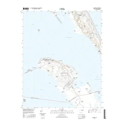
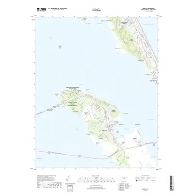
Editions of this 1953 Manteo Map
5 editions found
Historical Maps of Kill Devil Hills Through Time
9 maps found