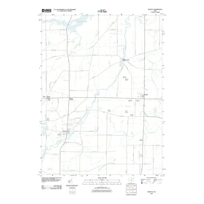
2010 Map of Mantua
USGS Topo · Published 2010About this map
The Cuyahoga River meanders through this section of Portage County, serving as a focal point for the settlements of Hiram Rapids and Mantua. The landscape is defined by its water systems, including the northern Akron City Reservoir and the drainage of Eagle Creek and Black Brook towards the West Branch Mahoning River. This 2010 survey reflects a deeply rooted community, evidenced by numerous burial grounds such as Hillside Cemetery and the Pioneer Trail Cemetery.
Find a feature on this map
64 named features on this map. Tap any name to fly to it.
Don’t see what you’re looking for? This feature index may not catch every label — zoom into the map to look around manually.
Map Details
Editions of this 2010 Mantua Map
This is the sole edition of this map. No revisions or reprints were ever made.
Other maps of this area

1905 · Garrettsville
USGS Topo · 1:62,500

1906 · Kent
USGS Topo · 1:62,500

1906 · Chagrin Falls
USGS Topo · 1:62,500

1906 · Ravenna
USGS Topo · 1:62,500

1907 · Garrettsville
USGS Topo · 1:62,500

1908 · Chagrin Falls
USGS Topo · 1:62,500

1908 · Ravenna
USGS Topo · 1:62,500

1950 · Cleveland
USGS Topo · 1:250,000

1953 · South Russell
USGS Topo · 1:24,000

1953 · Aurora
USGS Topo · 1:24,000