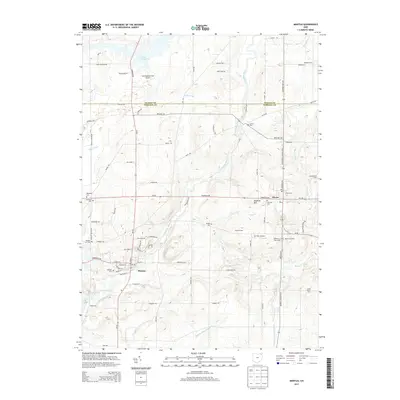
2013 Map of Mantua
USGS Topo · Published 2013About this map
Mantua and Hiram anchor this Portage County landscape, defined by the winding course of the Cuyahoga River and the sprawling La Due Reservoir in the north. The presence of Hiram Coll highlights the area's academic identity, while several local airstrips, including Carcioppolo Field Airport and Far View Airport, suggest a tradition of private aviation. The terrain is marked by significant elevation changes around Derthick Hill and the drainage basins of Eagle Cr and Silver Cr.
Find a feature on this map
76 named features on this map. Tap any name to fly to it.
Don’t see what you’re looking for? This feature index may not catch every label — zoom into the map to look around manually.
Map Details
Editions of this 2013 Mantua Map
This is the sole edition of this map. No revisions or reprints were ever made.
Other maps of this area

1905 · Garrettsville
USGS Topo · 1:62,500

1906 · Kent
USGS Topo · 1:62,500

1906 · Chagrin Falls
USGS Topo · 1:62,500

1906 · Ravenna
USGS Topo · 1:62,500

1907 · Garrettsville
USGS Topo · 1:62,500

1908 · Chagrin Falls
USGS Topo · 1:62,500

1908 · Ravenna
USGS Topo · 1:62,500

1950 · Cleveland
USGS Topo · 1:250,000

1953 · South Russell
USGS Topo · 1:24,000

1953 · Aurora
USGS Topo · 1:24,000