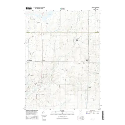
2016 Map of Mantua
USGS Topo · Published 2016About this map
The Cuyahoga River meanders through the heart of northern Portage County, anchoring a landscape defined by its glacial history and rural character. The village of Mantua sits along the river's bend, while the higher ground to the east is occupied by the village of Hiram, notable for the campus of Hiram Coll. This 2016 survey captures the area's intricate network of waterways and wetlands, including the extensive Mantua Swamp and the southern reaches of La Due Reservoir at the Geauga County border. Genealogists will find a concentration of local history in the many burial grounds across the quadrangle, from Westlawn Cem and Eastlawn Cem near Mantua Center to the secluded Vaughn Cem and Fairview Cem. The terrain rises toward Derthick Hill, overlooking a patchwork of aviation and athletic facilities like Far View Airport and Carcioppolo Field.
Find a feature on this map
94 named features on this map. Tap any name to fly to it.
Don’t see what you’re looking for? This feature index may not catch every label — zoom into the map to look around manually.
Map Details
Editions of this 2016 Mantua Map
This is the sole edition of this map. No revisions or reprints were ever made.
Other maps of this area

1905 · Garrettsville
USGS Topo · 1:62,500

1906 · Kent
USGS Topo · 1:62,500

1906 · Chagrin Falls
USGS Topo · 1:62,500

1906 · Ravenna
USGS Topo · 1:62,500

1907 · Garrettsville
USGS Topo · 1:62,500

1908 · Chagrin Falls
USGS Topo · 1:62,500

1908 · Ravenna
USGS Topo · 1:62,500

1950 · Cleveland
USGS Topo · 1:250,000

1953 · South Russell
USGS Topo · 1:24,000

1953 · Aurora
USGS Topo · 1:24,000