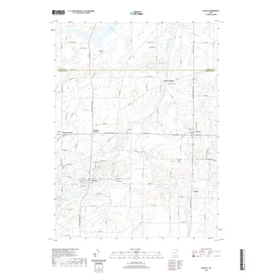
2019 Map of Mantua
USGS Topo · Published 2019About this map
The Cuyahoga River anchors the landscape as it winds through this portion of the Western Reserve, influencing the historical development of settlements like Mantua, Mantua Center, and Hiram Rapids. The area is characterized by significant water features, including the Akron City Reservoir and the expansive Mantua Swamp, which delineate the low-lying terrain south of the Geauga Co Portage Co line. Educational history is centered at Hiram College, while the local genealogy is preserved in numerous burial grounds such as Pioneer Trail Cem, Westlawn Cem, and Hillside Cem.
Find a feature on this map
92 named features on this map. Tap any name to fly to it.
Don’t see what you’re looking for? This feature index may not catch every label — zoom into the map to look around manually.
Map Details
Editions of this 2019 Mantua Map
This is the sole edition of this map. No revisions or reprints were ever made.
Other maps of this area

1905 · Garrettsville
USGS Topo · 1:62,500

1906 · Kent
USGS Topo · 1:62,500

1906 · Chagrin Falls
USGS Topo · 1:62,500

1906 · Ravenna
USGS Topo · 1:62,500

1907 · Garrettsville
USGS Topo · 1:62,500

1908 · Chagrin Falls
USGS Topo · 1:62,500

1908 · Ravenna
USGS Topo · 1:62,500

1950 · Cleveland
USGS Topo · 1:250,000

1953 · South Russell
USGS Topo · 1:24,000

1953 · Aurora
USGS Topo · 1:24,000