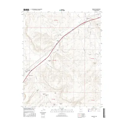
2017 Map of Manuelito
USGS Topo · Published 2017About this map
Manuelito and Defiance serve as the primary points of human settlement along this section of the Puerco River, where the landscape is defined by a dense network of named canyons and geological formations. The topography is deeply incised, featuring landforms such as Torrivio Mesa and the prominent Purty Rock, alongside numerous drainages like Wild Goat Canyon and Burned Out Canyon. The corridor through the river valley is a vital transit route, evidenced by the concentration of infrastructure and local roads such as Rocky Point Rd and Leo Canyon Rd. This 2017 survey reflects the enduring importance of water sources in the high desert, specifically marking Sand Spring and the drainage of Salt Water Wash. The intricate naming of smaller side canyons, such as Window Rock Canyon and Eagles Nest Canyon, points to a landscape intimately known by its local inhabitants and travelers navigating the Eastern Navajo Agency.
Find a feature on this map
49 named features on this map. Tap any name to fly to it.
Don’t see what you’re looking for? This feature index may not catch every label — zoom into the map to look around manually.
Map Details
Editions of this 2017 Manuelito Map
This is the sole edition of this map. No revisions or reprints were ever made.
Other maps of this area

1886 · Wingate
USGS Topo · 1:250,000

1886 · Fort Defiance
USGS Topo · 1:250,000

1892 · Fort Defiance
USGS Topo · 1:250,000

1892 · Wingate
USGS Topo · 1:250,000

1954 · Gallup
USGS Topo · 1:250,000

1958 · Gallup
USGS Topo · 1:250,000

1959 · Gallup
USGS Topo · 1:250,000

1962 · Gallup
USGS Topo · 1:250,000

1963 · Twin Buttes
USGS Topo · 1:24,000

1963 · Gallup West
USGS Topo · 1:24,000
Featured Places
- Eastern Navajo Agency, NM
- Defiance, NM
- Manuelito, Eastern Navajo Agency
- McKinley County, NM
- United States