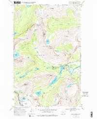
1968 Map of Many Glacier
USGS Topo · Published 1977About this map
Many Glacier serves as the focal point for this wilderness survey, highlighting the concentrated infrastructure that supported backcountry tourism in the late 1960s. The map details the Hotel, Ranger Sta, and Boat Ramp along the shores of Swiftcurrent Lake, where the landscape transitions from managed grounds to the high peaks of the Continental Divide. The human footprint extends into the high country via the Ptarmigan Tunnel and the Oastler Shelter near Josephine Lake.
Find a feature on this map
78 named features on this map. Tap any name to fly to it.
Don’t see what you’re looking for? This feature index may not catch every label — zoom into the map to look around manually.
Map Details
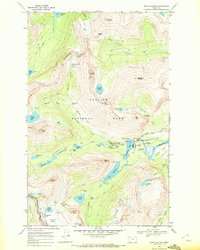
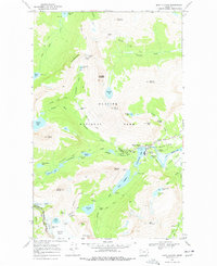
Editions of this 1968 Many Glacier Map
3 editions found
Other maps of this area

1904 · Chief Mountain
USGS Topo · 1:125,000

1938 · Chief Mountain
USGS Topo · 1:125,000

1960 · Cut Bank
USGS Topo · 1:250,000

1963 · Cut Bank
USGS Topo · 1:250,000

1964 · Cut Bank
USGS Topo · 1:250,000

1968 · Ahern Pass
USGS Topo · 1:24,000
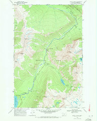
1968 · Mount Cannon
USGS Topo · 1:24,000

1968 · Gable Mountain
USGS Topo · 1:24,000
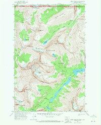
1968 · Mount Cleveland
USGS Topo · 1:24,000
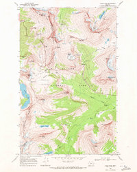
1968 · Logan Pass
USGS Topo · 1:24,000