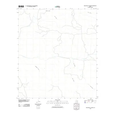
2010 Map of Manzanillo Canyon
USGS Topo · Published 2010About this map
Terneros Creek winds through this arid expanse of Presidio County, carving a central drainage path through a landscape defined by deep, branching arroyos. The map reveals a complex network of topographical relief, where Manzanillo Canyon and Lava Canyon dominate the southern and eastern reaches. These features suggest a high-desert environment where water flow is intermittent and dictated by the seasonal rains that shape these dry washes. Sparse human presence is indicated only by the primitive track of Main Rd in the southwest corner, which provides the primary access through this remote corner of West Texas. Other significant natural landforms include Ministro Canyon, Teco Canyon, and Yedra Canyon, illustrating a territory where the natural drainage patterns have remained largely undisturbed by development into the early 21st century.
Find a feature on this map
7 named features on this map. Tap any name to fly to it.
Don’t see what you’re looking for? This feature index may not catch every label — zoom into the map to look around manually.
Map Details
Editions of this 2010 Manzanillo Canyon Map
This is the sole edition of this map. No revisions or reprints were ever made.
Other maps of this area

1896 · Polvo
USGS Topo · 1:125,000

1896 · Shafter
USGS Topo · 1:125,000

1903 · Terlingua
USGS Topo · 1:125,000

1904 · Terlingua
USGS Topo · 1:125,000

1917 · Tascotal Mesa
USGS Topo · 1:62,500

1931 · Lajitas
USGS Topo · 1:62,500

1944 · Tascotal Mesa
USGS Topo · 1:62,500

1959 · Emory Peak
USGS Topo · 1:250,000

1959 · Presidio
USGS Topo · 1:250,000

1965 · Presidio
USGS Topo · 1:250,000