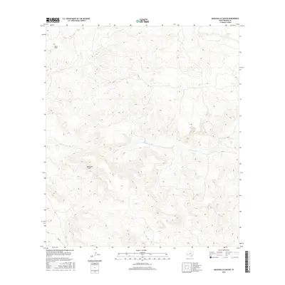
2016 Map of Manzanillo Canyon
USGS Topo · Published 2016About this map
Manzanillo Canyon defines the central topography of this Presidio County landscape, where deep drainage systems carve through the high desert of West Texas. The waterway of Terneros Creek winds across the midsection of the sheet, providing a primary drainage feature for the surrounding uplands. To the northwest, the elevation rises toward the Black Hills, a significant topographical landmark in an area otherwise characterized by intricate contouring and desert canyons. This 2016 survey shows a territory largely defined by its natural landforms, with very little human-made infrastructure present beyond the Main Rd cutting across the southwestern corner. The map captures a moment of modern land management in this remote section of the state, documenting the exact contours of the canyons and creeks as they stood in the early 21st century.
Find a feature on this map
5 named features on this map. Tap any name to fly to it.
Don’t see what you’re looking for? This feature index may not catch every label — zoom into the map to look around manually.
Map Details
Editions of this 2016 Manzanillo Canyon Map
This is the sole edition of this map. No revisions or reprints were ever made.
Other maps of this area

1896 · Polvo
USGS Topo · 1:125,000

1896 · Shafter
USGS Topo · 1:125,000

1903 · Terlingua
USGS Topo · 1:125,000

1904 · Terlingua
USGS Topo · 1:125,000

1917 · Tascotal Mesa
USGS Topo · 1:62,500

1931 · Lajitas
USGS Topo · 1:62,500

1944 · Tascotal Mesa
USGS Topo · 1:62,500

1959 · Emory Peak
USGS Topo · 1:250,000

1959 · Presidio
USGS Topo · 1:250,000

1965 · Presidio
USGS Topo · 1:250,000