
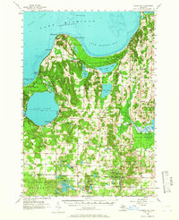
1957 Map of Maple City
USGS Topo · Published 1958About this map
Glen Lake and the coastal waters of Good Harbor Bay define this mid-century landscape of northern Michigan. The map captures a transition period for rural Leelanau County, where local community hubs like Maple City and Glen Arbor serve as anchors for the surrounding townships. Education is well-represented, showing the active Glen Lake High School contrasted with the North Unity Sch, which is explicitly marked as abandoned, suggesting shifting demographics and school consolidation in the late 1950s.
Find a feature on this map
102 named features on this map. Tap any name to fly to it.
Don’t see what you’re looking for? This feature index may not catch every label — zoom into the map to look around manually.
Map Details
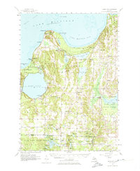
Editions of this 1957 Maple City Map
3 editions found
Other maps of this area

1954 · Traverse City
USGS Topo · 1:250,000

1954 · Escanaba
USGS Topo · 1:250,000

1954 · Manitowoc
USGS Topo · 1:250,000

1955 · Cheboygan
USGS Topo · 1:250,000

1956 · North Manitou
USGS Topo · 1:62,500

1956 · Kingsley
USGS Topo · 1:62,500

1956 · Thompsonville
USGS Topo · 1:62,500

1956 · Frankfort
USGS Topo · 1:62,500

1957 · Escanaba
USGS Topo · 1:250,000

1957 · Traverse City
USGS Topo · 1:62,500
Featured Places
- Long Lake Township, MI
- Solon, Solon Township
- Glen Arbor, Glen Arbor Township
- Maple City, Kasson Township
- Cedar, Solon Township