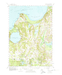
1957 Map of Maple City
USGS Topo · Published 1974About this map
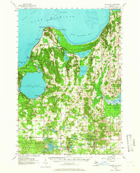
The Lake Michigan shoreline at Pyramid Point and Sleeping Bear Bay defines this mid-century portrait of Leelanau County's western reach. Centered on Maple City, the landscape is a patchwork of glacial lakes and pioneer-era traces. Local history is deeply etched into the township lines of Cleveland and Kasson, where numerous rural burial grounds like Kiley Cem and Cleveland Cem reflect early family homesteads. The map captures a moment when traditional lake life at Vacation Valley Camp and Camp Kohahna coexisted with the agricultural rhythms of the interior. Notable cultural landmarks include the North Unity Sch (Abandoned) and the Leelanau Schools near Glen Arbor. To the south, the expansive Fife Lake State Forest dominates the terrain, punctuated by family-named water bodies such as Gerry Lake and Holden Lake, alongside the specialized Empire Landing Field.
Find a feature on this map
100 named features on this map. Tap any name to fly to it.
Don’t see what you’re looking for? This feature index may not catch every label — zoom into the map to look around manually.
Map Details
Editions of this 1957 Maple City Map
3 editions found

Other maps of this area

1954 · Traverse City
USGS Topo · 1:250,000

1954 · Escanaba
USGS Topo · 1:250,000

1954 · Manitowoc
USGS Topo · 1:250,000

1955 · Cheboygan
USGS Topo · 1:250,000

1956 · North Manitou
USGS Topo · 1:62,500

1956 · Kingsley
USGS Topo · 1:62,500

1956 · Thompsonville
USGS Topo · 1:62,500

1956 · Frankfort
USGS Topo · 1:62,500

1957 · Escanaba
USGS Topo · 1:250,000

1957 · Traverse City
USGS Topo · 1:62,500