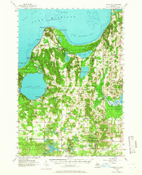
1957 Map of Maple City
USGS Topo · Published 1966About this map
Glen Lake and the deep indentation of Good Harbor Bay define the physical layout of this northern Michigan landscape during the mid-1950s. The map captures a transition in land use, where former agricultural centers like Maple City and Burdickville sit alongside developing recreational sites such as Camp Kohahna and Vacation Valley Camp. The persistence of local history is visible in the numerous rural cemeteries and parishes, including St Josephs Ch and St Josephs Cem, which anchored the inland communities of Cleveland and Kasson townships.
Find a feature on this map
94 named features on this map. Tap any name to fly to it.
Don’t see what you’re looking for? This feature index may not catch every label — zoom into the map to look around manually.
Map Details
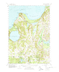
Editions of this 1957 Maple City Map
3 editions found

Other maps of this area

1954 · Traverse City
USGS Topo · 1:250,000

1954 · Escanaba
USGS Topo · 1:250,000

1954 · Manitowoc
USGS Topo · 1:250,000

1955 · Cheboygan
USGS Topo · 1:250,000

1956 · North Manitou
USGS Topo · 1:62,500

1956 · Kingsley
USGS Topo · 1:62,500

1956 · Thompsonville
USGS Topo · 1:62,500

1956 · Frankfort
USGS Topo · 1:62,500

1957 · Escanaba
USGS Topo · 1:250,000

1957 · Traverse City
USGS Topo · 1:62,500