
1969 Map of Maple
USGS Topo · Published 1971About this map
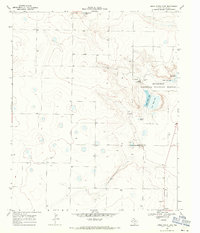
High plains agriculture and isolated ranching infrastructure characterize this 1969 survey of the West Texas landscape. The small settlement of Maple serves as the primary focal point, marked by its WT (water tank) and a surrounding grid of section lines that reflect the region's systematic land division. Near the northern boundary, the community of Goodland appears alongside a remote Landing Strip, highlighting the necessity of light aircraft for traversing these expansive distances.
Find a feature on this map
10 named features on this map. Tap any name to fly to it.
Don’t see what you’re looking for? This feature index may not catch every label — zoom into the map to look around manually.
Map Details
Editions of this 1969 Maple Map
This is the sole edition of this map. No revisions or reprints were ever made.
Other maps of this area

1954 · Brownfield
USGS Topo · 1:250,000

1958 · Brownfield
USGS Topo · 1:250,000

1962 · Brownfield
USGS Topo · 1:250,000

1968 · Three Way School
USGS Topo · 1:24,000
1968 · Upper White Lake
USGS Topo · 1:24,000

1969 · Enochs
USGS Topo · 1:24,000

1970 · Lingo
USGS Topo · 1:24,000

1970 · Causey East
USGS Topo · 1:24,000

1970 · Morton NW
USGS Topo · 1:24,000

1970 · Bledsoe NE
USGS Topo · 1:24,000