
1970 Map of Bledsoe NE
USGS Topo · Published 1973About this map
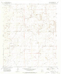
The borderlands between Roosevelt County and Cochran County define this 1970 landscape, where the high plains terrain is marked by the infrastructure of the energy industry and agricultural land management. Numerous Drill Holes and an Oil Well punctuate the landscape, indicating active subsurface exploration during this era. A major Pipeline traverses the northwestern portion of the map, further emphasizing the industrial character of the region.
Find a feature on this map
9 named features on this map. Tap any name to fly to it.
Don’t see what you’re looking for? This feature index may not catch every label — zoom into the map to look around manually.
Map Details
Editions of this 1970 Bledsoe NE Map
This is the sole edition of this map. No revisions or reprints were ever made.
Other maps of this area

1954 · Brownfield
USGS Topo · 1:250,000

1958 · Brownfield
USGS Topo · 1:250,000

1962 · Brownfield
USGS Topo · 1:250,000

1969 · Maple
USGS Topo · 1:24,000

1970 · Lingo
USGS Topo · 1:24,000

1970 · Bledsoe
USGS Topo · 1:24,000

1970 · Morton SW
USGS Topo · 1:24,000

1970 · Morton NW
USGS Topo · 1:24,000

1972 · Bluit
USGS Topo · 1:24,000
1972 · Bledsoe SW
USGS Topo · 1:24,000