
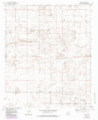
1972 Map of Bluit
USGS Topo · Published 1975About this map
Bluit stands as the primary namesake settlement in this high plains region of eastern New Mexico, surveyed in the early 1970s. The landscape is defined by its industrial and agricultural utility, marked by a pervasive network of Oil Wells and numerous exploration Drill Holes. Resource extraction is further evidenced by several Gravel Pits and Gravel Pits scattered across the terrain.
Find a feature on this map
13 named features on this map. Tap any name to fly to it.
Don’t see what you’re looking for? This feature index may not catch every label — zoom into the map to look around manually.
Map Details
Editions of this 1972 Bluit Map
2 editions found
Other maps of this area

1954 · Brownfield
USGS Topo · 1:250,000

1958 · Brownfield
USGS Topo · 1:250,000

1962 · Brownfield
USGS Topo · 1:250,000

1970 · Lingo
USGS Topo · 1:24,000

1970 · Bledsoe
USGS Topo · 1:24,000

1970 · Bledsoe NE
USGS Topo · 1:24,000
1972 · Bledsoe SW
USGS Topo · 1:24,000

1972 · Garrison
USGS Topo · 1:24,000

1972 · Milnesand
USGS Topo · 1:24,000

1972 · Crossroads
USGS Topo · 1:24,000