
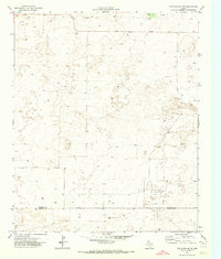
1970 Map of Bledsoe
USGS Topo · Published 1973About this map
Bledsoe sits at the northeastern edge of this West Texas landscape, serving as a terminal point for the Atchison Topeka and Santa Fe railroad. The terrain is defined by the industrial activity of the Llano Estacado, where the Buckshot Oil Field and numerous scattered Oil Wells and Drill Holes indicate the intensive petroleum exploration of the late 1960s. The map captures a critical border region where the New Mexico Texas state line meets the intersection of Roosevelt, Cochran, and Lea counties.
Find a feature on this map
13 named features on this map. Tap any name to fly to it.
Don’t see what you’re looking for? This feature index may not catch every label — zoom into the map to look around manually.
Map Details
Editions of this 1970 Bledsoe Map
This is the sole edition of this map. No revisions or reprints were ever made.
Other maps of this area

1954 · Brownfield
USGS Topo · 1:250,000

1958 · Brownfield
USGS Topo · 1:250,000

1962 · Brownfield
USGS Topo · 1:250,000

1970 · Bronco NE
USGS Topo · 1:24,000

1970 · Walking Cane Ranch
USGS Topo · 1:24,000

1970 · Morton SW
USGS Topo · 1:24,000

1970 · Morton NW
USGS Topo · 1:24,000

1970 · Bledsoe NE
USGS Topo · 1:24,000
1971 · Two B Ranch NW
USGS Topo · 1:24,000

1972 · Bluit
USGS Topo · 1:24,000