
1972 Map of Milnesand
USGS Topo · Published 1975About this map
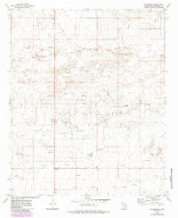
Milnesand serves as the primary focal point in this high-plains landscape of eastern New Mexico, situated near the intersection of various ranch and industry roads. The area's mid-century character is defined by the extensive operations of the Todd Oil Field, which dominates the central portion of the map with a dense network of extraction and transit infrastructure. Evidence of this energy-driven economy is everywhere, from the numerous Oil Well and Oil Wells sites to the complex web of Pipeline routes and the local Pumping Sta.
Find a feature on this map
11 named features on this map. Tap any name to fly to it.
Don’t see what you’re looking for? This feature index may not catch every label — zoom into the map to look around manually.
Map Details
Editions of this 1972 Milnesand Map
2 editions found
Other maps of this area

1954 · Brownfield
USGS Topo · 1:250,000

1958 · Brownfield
USGS Topo · 1:250,000

1962 · Brownfield
USGS Topo · 1:250,000

1972 · Milnesand SW
USGS Topo · 1:24,000

1972 · Bluit
USGS Topo · 1:24,000
1972 · Bledsoe SW
USGS Topo · 1:24,000

1972 · Garrison
USGS Topo · 1:24,000

1972 · Dora SW
USGS Topo · 1:24,000

1972 · Crossroads
USGS Topo · 1:24,000
1972 · Pep
USGS Topo · 1:24,000