
1972 Map of Dora SW
USGS Topo · Published 1975About this map
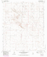
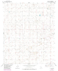
Industrial expansion in the High Plains is evident in this 1970s survey of eastern Roosevelt County. The landscape is characterized by a high frequency of Drill Hole markers and Oil Well sites, indicating active resource exploration during this era. A significant Pipeline traverses the northern and eastern portions of the quadrangle, serving as a primary infrastructure link for the regional energy sector. The topography is predominantly open terrain, where isolated water sources like the common Well were essential for sustaining the agricultural and ranching operations that defined the local economy alongside the burgeoning oil industry. This map provides a clear record of the spatial distribution of these energy-related features at the height of regional development.
Find a feature on this map
7 named features on this map. Tap any name to fly to it.
Don’t see what you’re looking for? This feature index may not catch every label — zoom into the map to look around manually.
Map Details
Editions of this 1972 Dora SW Map
2 editions found
Other maps of this area

1954 · Brownfield
USGS Topo · 1:250,000

1958 · Brownfield
USGS Topo · 1:250,000

1962 · Brownfield
USGS Topo · 1:250,000

1972 · Dora NW
USGS Topo · 1:24,000

1972 · Milnesand
USGS Topo · 1:24,000
1972 · Pep
USGS Topo · 1:24,000
1972 · Milnesand NW
USGS Topo · 1:24,000

1972 · Dora
USGS Topo · 1:24,000
1979 · Badger Lake
USGS Topo · 1:24,000
1979 · Elida SE
USGS Topo · 1:24,000