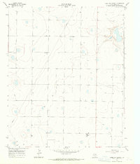
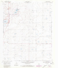
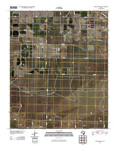
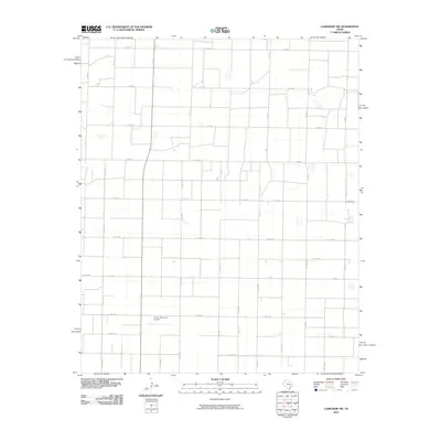
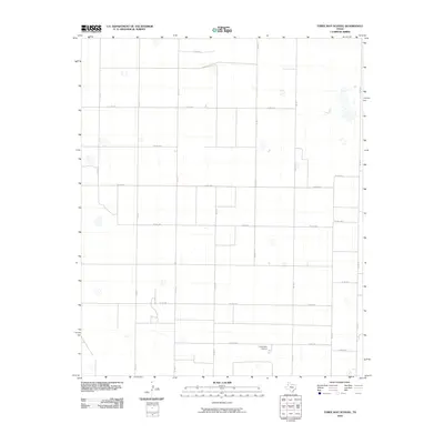
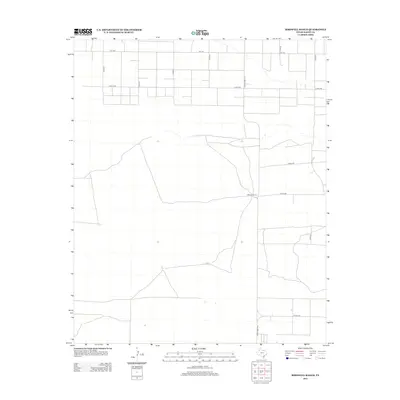
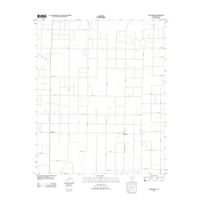
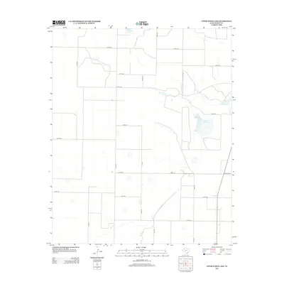
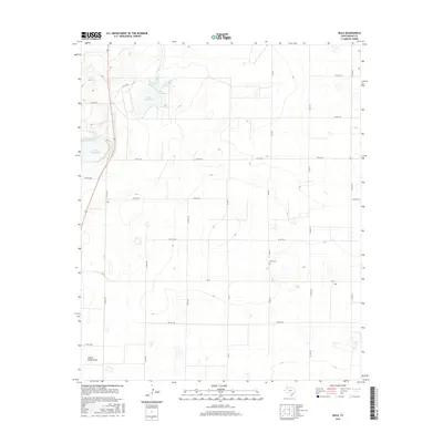
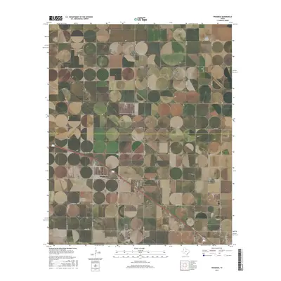
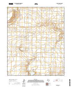
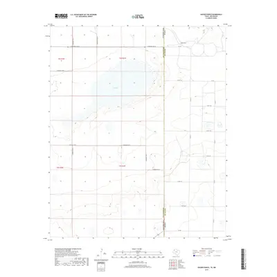
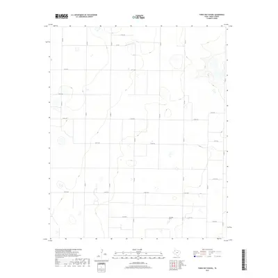
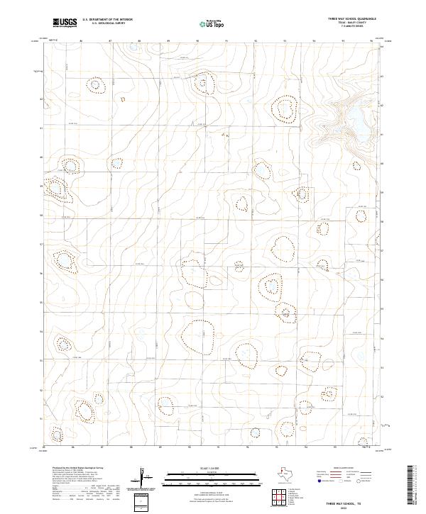
1968 Map of Three Way School
USGS Topo · Published 1971About this map
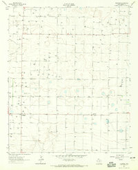
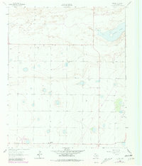
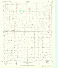
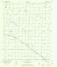
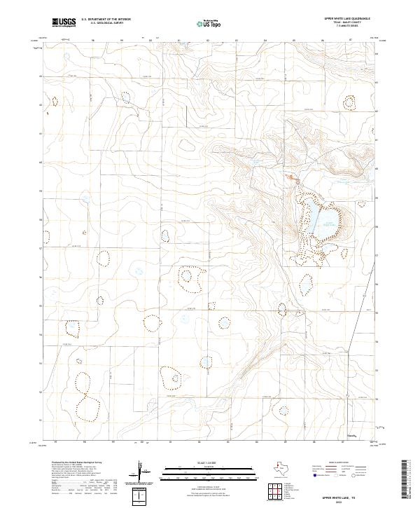
Deep within the Llano Estacado of Bailey County, this agricultural landscape is defined by the scattered Wells that sustain its high plains farms. The social and educational center of this rural community is anchored by the Three Way Sch near the southern boundary, while Hicks Chapel serves as a lone spiritual landmark further north. The terrain is notably flat, marked only by the gentle depressions of ephemeral playa lakes and the straight-line industrial presence of a major Pipeline cutting diagonally across the western sections. A small Landing Strip in the southwest corner highlights the reliance on aerial access in this expansive Texas ranching and farming territory. This survey captures a moment when the region's productivity was entirely dependent on groundwater extraction and highly localized rural infrastructure.
Find a feature on this map
6 named features on this map. Tap any name to fly to it.
Don’t see what you’re looking for? This feature index may not catch every label — zoom into the map to look around manually.
Map Details
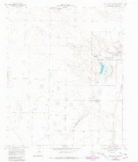
Editions of this 1968 Three Way School Map
This is the sole edition of this map. No revisions or reprints were ever made.
Historical Maps of Bailey County Through Time
66 maps found
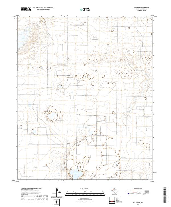
1962 Baileyboro
Bailey County, TX
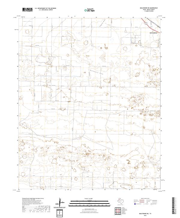
1962 Baileyboro NE
Bailey County, TX
1962 Birdwell Ranch
Bailey County, TX
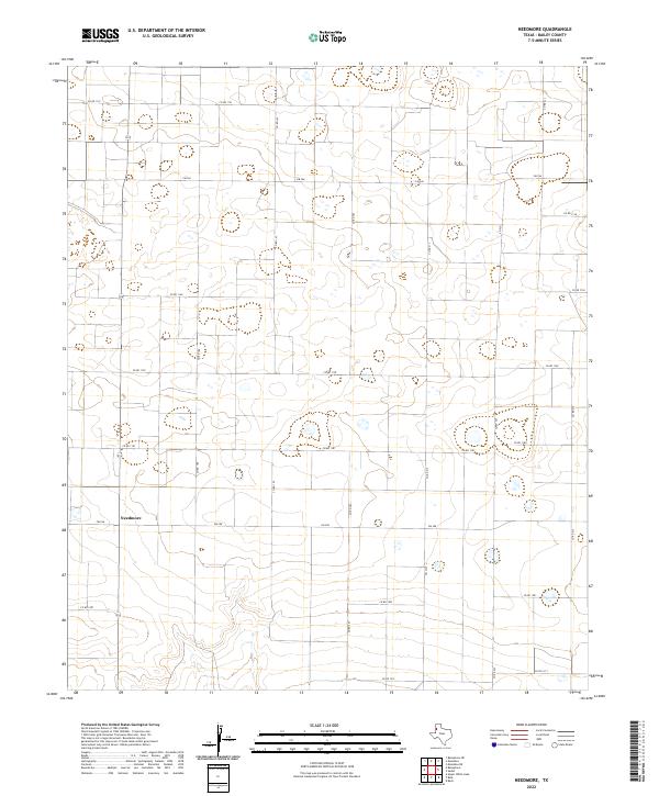
1962 Needmore
Bailey County, TX
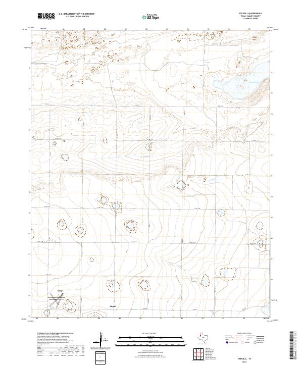
1962 Stegall
Bailey County, TX
1963 Lazbuddie SW
Bailey County, TX
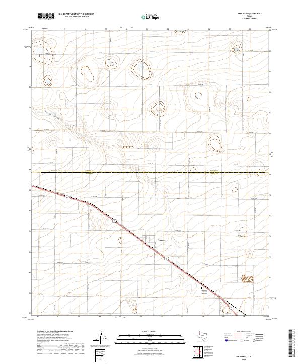
1963 Progress
Bailey County, TX
1968 Bula
Bailey County, TX
1968 Three Way School
Bailey County, TX
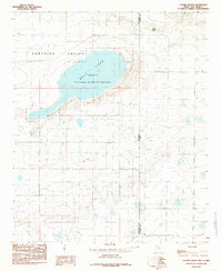
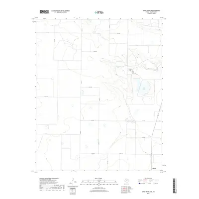
1968 Upper White Lake
Bailey County, TX
1985 Golden Ranch
Bailey County, TX
2010 Baileyboro
Bailey County, TX
2010 Baileyboro NE
Bailey County, TX
2010 Birdwell Ranch
Bailey County, TX
2010 Bula
Bailey County, TX
2010 Golden Ranch
Bailey County, TX
2010 Lazbuddie SW
Bailey County, TX
2010 Needmore
Bailey County, TX
2010 Progress
Bailey County, TX
2010 Stegall
Bailey County, TX
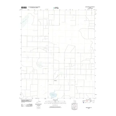
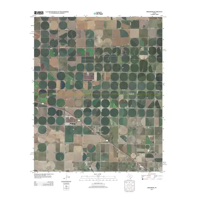
2010 Three Way School
Bailey County, TX
2010 Upper White Lake
Bailey County, TX
2012 Baileyboro
Bailey County, TX
2012 Baileyboro NE
Bailey County, TX
2012 Birdwell Ranch
Bailey County, TX
2012 Bula
Bailey County, TX
2012 Golden Ranch
Bailey County, TX
2012 Lazbuddie SW
Bailey County, TX
2012 Needmore
Bailey County, TX
2012 Progress
Bailey County, TX
2012 Stegall
Bailey County, TX
2012 Three Way School
Bailey County, TX
2012 Upper White Lake
Bailey County, TX
2016 Baileyboro
Bailey County, TX
2016 Baileyboro NE
Bailey County, TX
2016 Birdwell Ranch
Bailey County, TX
2016 Bula
Bailey County, TX
2016 Golden Ranch
Bailey County, TX
2016 Lazbuddie SW
Bailey County, TX
2016 Needmore
Bailey County, TX
2016 Progress
Bailey County, TX
2016 Stegall
Bailey County, TX
2016 Three Way School
Bailey County, TX
2016 Upper White Lake
Bailey County, TX
2019 Baileyboro
Bailey County, TX
2019 Baileyboro NE
Bailey County, TX
2019 Birdwell Ranch
Bailey County, TX
2019 Bula
Bailey County, TX
2019 Golden Ranch
Bailey County, TX
2019 Lazbuddie SW
Bailey County, TX
2019 Needmore
Bailey County, TX
2019 Progress
Bailey County, TX

2019 Stegall
Bailey County, TX
2019 Three Way School
Bailey County, TX
2019 Upper White Lake
Bailey County, TX
2022 Baileyboro
Bailey County, TX
2022 Baileyboro NE
Bailey County, TX
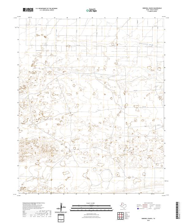
2022 Birdwell Ranch
Bailey County, TX
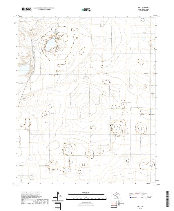
2022 Bula
Bailey County, TX
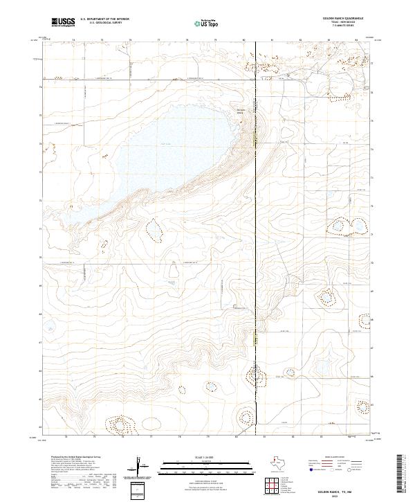
2022 Golden Ranch
Bailey County, TX
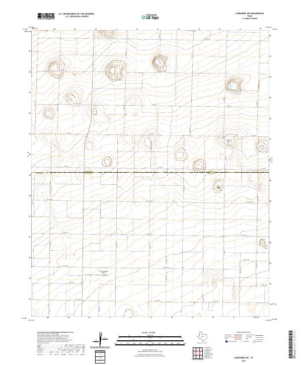
2022 Lazbuddie SW
Bailey County, TX
2022 Needmore
Bailey County, TX
2022 Progress
Bailey County, TX
2022 Stegall
Bailey County, TX
2022 Three Way School
Bailey County, TX
2022 Upper White Lake
Bailey County, TX