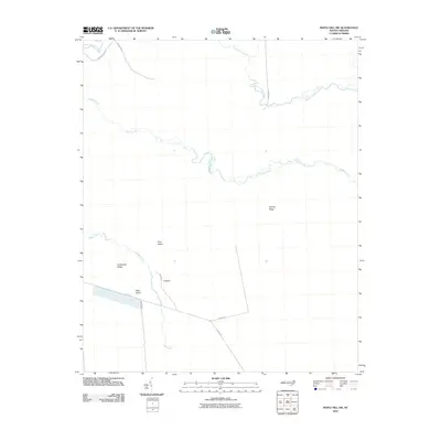
2010 Map of Maple Hill SW
USGS Topo · Published 2010About this map
Low-lying wetlands and intricate drainages define this portion of Onslow County, where the sprawling Sandy Run Swamp and Shelter Swamp Creek feed into the winding Shaken Creek. The landscape is a mosaic of moisture-rich terrain, characterized by interior rises like Bryants Ridge and Southwest Ridge that provide subtle elevation above the surrounding marshlands. Named landforms such as Pine Island, Back Island, and the specifically designated T Island suggest pockets of slightly higher ground or distinct vegetation within the swampy network of Ashes Creek and Holly Shelter Creek. The human footprint is marked by a sparse but deliberate network of local routes including Old Maple Hill Rd, Godwin Rd, and the isolated Island Rd, illustrating how early infrastructure navigated the difficult coastal plain topography.
Find a feature on this map
17 named features on this map. Tap any name to fly to it.
Don’t see what you’re looking for? This feature index may not catch every label — zoom into the map to look around manually.
Map Details
Editions of this 2010 Maple Hill SW Map
This is the sole edition of this map. No revisions or reprints were ever made.
Other maps of this area

1942 · Topsail
USGS Topo · 1:62,500

1942 · Burgaw
USGS Topo · 1:62,500

1947 · Rocky Point
USGS Topo · 1:62,500

1948 · Maple Hill
USGS Topo · 1:62,500

1948 · Topsail
USGS Topo · 1:62,500

1953 · Beaufort
USGS Topo · 1:250,000

1954 · Beaufort
USGS Topo · 1:250,000

1970 · Topsail
USGS Topo · 1:24,000
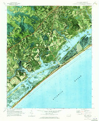
1970 · Holly Ridge
USGS Topo · 1:24,000
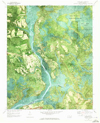
1970 · Mooretown
USGS Topo · 1:24,000