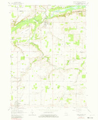
1965 Map of Maple Rapids
USGS Topo · Published 1982About this map
The Maple River winds through the northern reaches of this mid-Michigan landscape, defining the boundaries of the Maple River State Game Area and the local topography of The Island. In the mid-1960s, the village of Maple Rapids serves as a central hub, while the southern settlement of Fowler is anchored by the Grand Trunk Road and municipal infrastructure like the Sewage Disposal plant. The surrounding townships of Dallas, Bengal, and Lebanon are marked by an extensive network of agricultural drainage systems, including the Walker Drain and Amspoker Drain. Genealogists will find significant value in the distribution of family and community landmarks, such as Payne Cem, Stoll Cem, and the Frink Sch. The prevalence of small operations like the Gravel Pit near Lowe suggests a local economy tied closely to the land and road improvements during this era.
Find a feature on this map
72 named features on this map. Tap any name to fly to it.
Don’t see what you’re looking for? This feature index may not catch every label — zoom into the map to look around manually.
Map Details
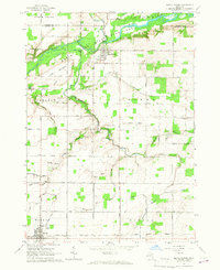
Editions of this 1965 Maple Rapids Map
2 editions found
Other maps of this area

1918 · Perrinton
USGS Topo · 1:62,500

1927 · De Witt
USGS Topo · 1:62,500

1943 · Perrinton
USGS Topo · 1:62,500

1945 · Portland
USGS Topo · 1:62,500

1954 · Midland
USGS Topo · 1:250,000

1958 · Midland
USGS Topo · 1:250,000

1958 · Grand Rapids
USGS Topo · 1:250,000

1959 · Midland
USGS Topo · 1:250,000

1961 · Grand Rapids
USGS Topo · 1:250,000

1962 · Grand Rapids
USGS Topo · 1:250,000