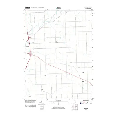
2010 Map of Maples
USGS Topo · Published 2010About this map
The Maumee River meanders across the northern portion of this landscape, its course complemented by an intricate network of drainage systems including Grover Ditch and Rushart Ditch. This grid-based rural area east of Fort Wayne is defined by small, dispersed settlements and a heavy reliance on local aviation, as evidenced by Klines Airport, Valhalla Airport, and the Casad Industrial Park Airport. Longstanding community markers like the Emmanuel Cemetery and the settlement of Maples provide grounding for family historians tracking the development of Allen County.
Find a feature on this map
69 named features on this map. Tap any name to fly to it.
Don’t see what you’re looking for? This feature index may not catch every label — zoom into the map to look around manually.
Map Details
Editions of this 2010 Maples Map
This is the sole edition of this map. No revisions or reprints were ever made.
Other maps of this area

1953 · Fort Wayne
USGS Topo · 1:250,000

1953 · Muncie
USGS Topo · 1:250,000

1956 · Muncie
USGS Topo · 1:250,000

1956 · Fort Wayne
USGS Topo · 1:250,000

1956 · Fort Wayne East
USGS Topo · 1:24,000

1956 · Cedarville
USGS Topo · 1:24,000

1957 · Maples
USGS Topo · 1:24,000

1958 · Grabill
USGS Topo · 1:24,000

1958 · Woodburn North
USGS Topo · 1:24,000

1958 · Woodburn South
USGS Topo · 1:24,000