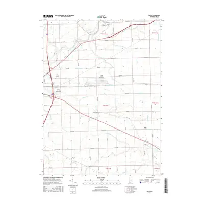
2016 Map of Maples
USGS Topo · Published 2016About this map
The Maumee River and the historic route of the Wabash and Erie Canal define the northern landscape of this Allen County region, illustrating the enduring influence of early 19th-century transportation corridors on modern land use. The city of New Haven occupies the northwestern corner, giving way to a heavily engineered agricultural plain to the east and south. This terrain is characterized by an extensive network of drainage features such as Martin Ditch, Lomont Ditch, and Rorick Ditch, which were essential for reclaiming the wet prairie for cultivation.
Find a feature on this map
65 named features on this map. Tap any name to fly to it.
Don’t see what you’re looking for? This feature index may not catch every label — zoom into the map to look around manually.
Map Details
Editions of this 2016 Maples Map
This is the sole edition of this map. No revisions or reprints were ever made.
Other maps of this area

1953 · Fort Wayne
USGS Topo · 1:250,000

1953 · Muncie
USGS Topo · 1:250,000

1956 · Muncie
USGS Topo · 1:250,000

1956 · Fort Wayne
USGS Topo · 1:250,000

1956 · Fort Wayne East
USGS Topo · 1:24,000

1956 · Cedarville
USGS Topo · 1:24,000

1957 · Maples
USGS Topo · 1:24,000

1958 · Grabill
USGS Topo · 1:24,000

1958 · Woodburn North
USGS Topo · 1:24,000

1958 · Woodburn South
USGS Topo · 1:24,000