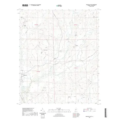
2020 Map of Maplesville East
USGS Topo · Published 2020About this map
Mulberry Creek and its many tributaries, including Benson Creek and Gin Cr, define the rural landscape of eastern Chilton County. This modern survey captures the enduring network of country roads and family cemeteries that anchor the region's history. Small settlements like Isabella and New Convert serve as local hubs, each preserving its heritage through sites such as the Isabella Cem and New Convert Cem.
Find a feature on this map
80 named features on this map. Tap any name to fly to it.
Don’t see what you’re looking for? This feature index may not catch every label — zoom into the map to look around manually.
Map Details
Editions of this 2020 Maplesville East Map
This is the sole edition of this map. No revisions or reprints were ever made.
Other maps of this area

1891 · Clanton
USGS Topo · 1:125,000

1953 · Montgomery
USGS Topo · 1:250,000

1956 · Montgomery
USGS Topo · 1:250,000

1957 · Montgomery
USGS Topo · 1:250,000

1959 · Plantersville
USGS Topo · 1:62,500

1959 · Billingsley
USGS Topo · 1:62,500
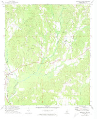
1971 · Maplesville East
USGS Topo · 1:24,000
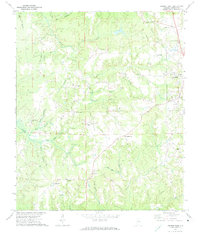
1971 · Jemison West
USGS Topo · 1:24,000

1971 · Maplesville West
USGS Topo · 1:24,000
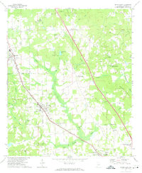
1971 · Jemison East
USGS Topo · 1:24,000