
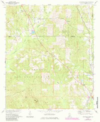
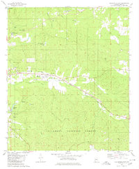
1971 Map of Maplesville West
USGS Topo · Published 1974About this map
Talladega National Forest encompasses much of this West Alabama landscape, where the Bibb Co Chilton Co line divides a terrain defined by creek valleys and timbered ridges. The Southern railroad corridor anchors the eastern edge, serving the community of Maplesville and smaller rural nodes like Cox and Lawley. This era shows a transition between industrial activity and reforestation, evidenced by scattered Gravel Pits and the Radio Tower near the center of the sheet. Local life centers on rural landmarks such as Rehobeth Ch and Pleasant Grove Ch, while geographic features like Perry Mtn and Sand Mountain provide distinct vertical relief. The intricate drainage network of Oakmulgee Creek and Boggles Creek suggests a landscape long shaped by its many waterways.
Find a feature on this map
30 named features on this map. Tap any name to fly to it.
Don’t see what you’re looking for? This feature index may not catch every label — zoom into the map to look around manually.
Map Details
Editions of this 1971 Maplesville West Map
2 editions found
Other maps of this area

1891 · Clanton
USGS Topo · 1:125,000

1953 · Montgomery
USGS Topo · 1:250,000

1956 · Montgomery
USGS Topo · 1:250,000

1957 · Montgomery
USGS Topo · 1:250,000

1959 · Plantersville
USGS Topo · 1:62,500

1959 · Summerfield
USGS Topo · 1:62,500
1971 · Maplesville East
USGS Topo · 1:24,000
1971 · Jemison West
USGS Topo · 1:24,000
1971 · Randolph
USGS Topo · 1:24,000
1980 · Centreville East
USGS Topo · 1:24,000