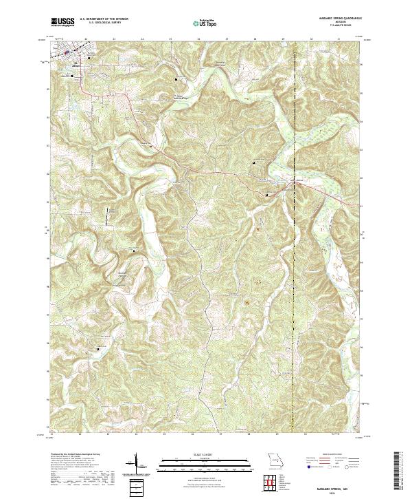
2021 Map of Maramec Spring
USGS Topo · Published 2021About this map
St. James anchors the northwestern corner of this landscape, where early settlement is reflected in the concentration of burial grounds like the Old Saint James Cem and Saint James Cem. The terrain breaks away from the town into a series of deeply carved valleys, most notably those surrounding the Meramec River and the famous Maramec Spring. This area is characterized by significant karst features, including the St James Natural Bridge and Pinnacles Bluff Arch, which illustrate the unique geologic character of the Phelps and Crawford county line. Rural life and family history are preserved through numerous small cemeteries such as Gorman, Hawkins, and McDole, alongside the small Green Airfield tucked between Piney Hollow and Normans Hollow. The network of county roads traces ridges and creek bottoms, connecting the high ground near Lake Scioto to the spring-fed waters of the Ozark plateau.
Find a feature on this map
75 named features on this map. Tap any name to fly to it.
Don’t see what you’re looking for? This feature index may not catch every label — zoom into the map to look around manually.
Map Details
Editions of this 2021 Maramec Spring Map
This is the sole edition of this map. No revisions or reprints were ever made.
Other maps of this area

1903 · Sullivan
USGS Topo · 1:125,000

1928 · Meramec Spring
USGS Topo · 1:62,500

1932 · Steelville
USGS Topo · 1:48,000

1933 · Steelville
USGS Topo · 1:62,500

1934 · Redbird
USGS Topo · 1:62,500

1937 · Steelville
USGS Topo · 1:62,500

1938 · Redbird
USGS Topo · 1:62,500

1948 · Cuba
USGS Topo · 1:24,000

1949 · Saint Louis
USGS Topo · 1:250,000

1949 · Rolla
USGS Topo · 1:250,000