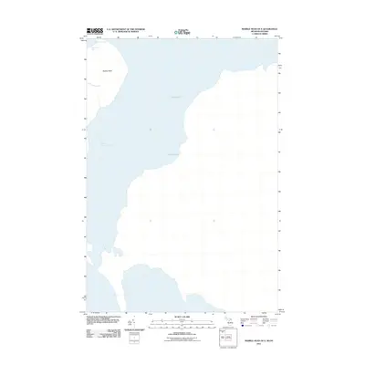
2011 Map of Marble Head OE E
USGS Topo · Published 2011About this map
Lake Huron dominates this 2011 survey, defining the rugged coastal geometry of the international boundary waters between Michigan and Ontario. The prominent landform of Marble Head stands as a focal point along the shoreline, marking a significant navigational waypoint for vessels entering the False Detour Channel. The coastal indentations of Sitgreaves Bay and the sheltered waters of Pilot Cove provide a detailed look at the interface between the limestone-rich terrain and the northern Great Lakes. This map documents the area during a period of modern hydrological monitoring, where the natural shoreline remains largely undisturbed by major infrastructure, preserving the exact contours of the maritime boundary as it existed in the early twenty-first century.
Find a feature on this map
5 named features on this map. Tap any name to fly to it.
Don’t see what you’re looking for? This feature index may not catch every label — zoom into the map to look around manually.
Map Details
Editions of this 2011 Marble Head OE E Map
This is the sole edition of this map. No revisions or reprints were ever made.
Other maps of this area

1954 · Alpena
USGS Topo · 1:250,000

1957 · Alpena
USGS Topo · 1:250,000

1958 · Alpena
USGS Topo · 1:250,000

1961 · Blind River
USGS Topo · 1:250,000
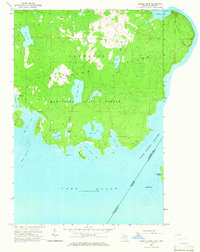
1964 · Marble Head
USGS Topo · 1:24,000
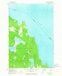
1964 · Drummond SE
USGS Topo · 1:24,000
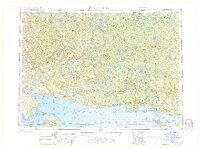
1968 · Blind River
USGS Topo · 1:250,000

1969 · Alpena
USGS Topo · 1:250,000
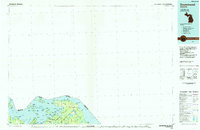
1984 · Drummond
USGS Topo · 1:100,000
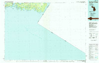
1984 · De Tour Village
USGS Topo · 1:100,000