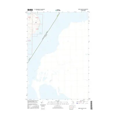
2017 Map of Marble Head OE E
USGS Topo · Published 2017About this map
Marble Head stands as a prominent coastal feature on the northeastern edge of Drummond Island, where the waters of Lake Huron meet the international boundary between Michigan and Ontario. This 2017 survey illustrates the precise geographic line separating the United States and Canada as it cuts through the open water east of the shoreline. The topography is dominated by the bluff at Marble Head, while to the north, the protected waters of Sitgreaves Bay and Pilot Cove offer a look at the varied coastline. The map focuses heavily on the aquatic expanse and the land-water interface, emphasizing the maritime character of this remote border crossing within Chippewa County.
Find a feature on this map
11 named features on this map. Tap any name to fly to it.
Don’t see what you’re looking for? This feature index may not catch every label — zoom into the map to look around manually.
Map Details
Editions of this 2017 Marble Head OE E Map
This is the sole edition of this map. No revisions or reprints were ever made.
Other maps of this area

1954 · Alpena
USGS Topo · 1:250,000

1957 · Alpena
USGS Topo · 1:250,000

1958 · Alpena
USGS Topo · 1:250,000

1961 · Blind River
USGS Topo · 1:250,000
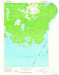
1964 · Marble Head
USGS Topo · 1:24,000
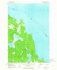
1964 · Drummond SE
USGS Topo · 1:24,000
1968 · Blind River
USGS Topo · 1:250,000

1969 · Alpena
USGS Topo · 1:250,000
1984 · Drummond
USGS Topo · 1:100,000
1984 · De Tour Village
USGS Topo · 1:100,000