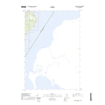
2023 Map of Marble Head OE E
USGS Topo · Published 2023About this map
Marble Head rises at the eastern edge of Drummond Island, marking a significant promontory overlooking the international maritime boundary. This remote coastal landscape is defined by its position along the False Detour Channel, a waterway that separates the United States from Canada. The terrain transitions from the rocky elevations of the headland down to the protected waters of Sitgreaves Bay and the smaller inlet of Pilot Cove. Human presence is minimal, primarily indicated by the primitive Up496 Trl and the more established Drummond Island Route 114, which provide access through the dense woodland. This recent survey highlights the preservation of the island's easternmost reaches, where the landscape remains largely undeveloped along the edge of the great lake shipping channels.
Find a feature on this map
11 named features on this map. Tap any name to fly to it.
Don’t see what you’re looking for? This feature index may not catch every label — zoom into the map to look around manually.
Map Details
Editions of this 2023 Marble Head OE E Map
This is the sole edition of this map. No revisions or reprints were ever made.
Other maps of this area

1954 · Alpena
USGS Topo · 1:250,000

1957 · Alpena
USGS Topo · 1:250,000

1958 · Alpena
USGS Topo · 1:250,000

1961 · Blind River
USGS Topo · 1:250,000
1964 · Marble Head
USGS Topo · 1:24,000
1964 · Drummond SE
USGS Topo · 1:24,000
1968 · Blind River
USGS Topo · 1:250,000

1969 · Alpena
USGS Topo · 1:250,000
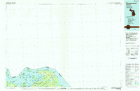
1984 · Drummond
USGS Topo · 1:100,000
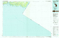
1984 · De Tour Village
USGS Topo · 1:100,000