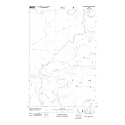
2011 Map of Marble Mountain
USGS Topo · Published 2011About this map
The Saint Joe River winds through the northern portion of this Idaho mountain landscape, where the legacy of early 20th-century logging remains evident in the Marble Creek Splash Dam. This engineering feature on Marble Creek points to the era when loggers used splash dams to surge timber downstream to mills. The topography is defined by high peaks including Marble Mountain, Camelback Mountain, and Daveggio Knob, connected by a network of forest roads like Hobo Pass Rd and Daveggio Creek Rd. Small settlements and campsites such as Pocono and Camp Three are situated along the drainage systems, marking the human footprint in this timber and recreation-focused corridor. Numerous tributaries, including Daveggio Creek and Shearer Creek, cut through the terrain to feed the primary river system.
Find a feature on this map
33 named features on this map. Tap any name to fly to it.
Don’t see what you’re looking for? This feature index may not catch every label — zoom into the map to look around manually.
Map Details
Editions of this 2011 Marble Mountain Map
This is the sole edition of this map. No revisions or reprints were ever made.
Other maps of this area

1914 · Avery
USGS Topo · 1:125,000

1917 · Avery
USGS Topo · 1:125,000

1955 · Spokane
USGS Topo · 1:250,000

1956 · Wallace
USGS Topo · 1:250,000

1957 · Wallace
USGS Topo · 1:62,500

1957 · Calder
USGS Topo · 1:62,500

1958 · Spokane
USGS Topo · 1:250,000

1960 · Wallace
USGS Topo · 1:250,000

1969 · Marble Mountain
USGS Topo · 1:24,000

1969 · Grandmother Mtn
USGS Topo · 1:24,000