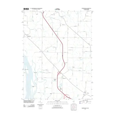
2012 Map of Marblehead
USGS Topo · Published 2012About this map
Mississippi River bottomlands and the bluff-line settlements of Adams County define this 2012 landscape. The river's influence is evident in the complex network of side channels and wetlands, including Whitney Island, The Sny, and several ponds like Schaffer Pond and Circle Pond. Along the higher ground to the east, small communities and rural centers such as Marblehead, Bluff Hall, and Fall Creek are connected by a grid of county roads. The map captures a high concentration of genealogical sites, including Craigtown Cem, Thompson Cem, and the Newmaw Family Cem. Large-scale water management is visible through the Austin Creek Settling Basin and Fall Creek Settling Basin, which help manage the drainage from tributaries like Austin Cr as they descend toward the river plain. Further inland, the terrain is dotted with landmarks like Camp Sacajawea and the community of Seehorn near the southern edge.
Find a feature on this map
101 named features on this map. Tap any name to fly to it.
Don’t see what you’re looking for? This feature index may not catch every label — zoom into the map to look around manually.
Map Details
Editions of this 2012 Marblehead Map
This is the sole edition of this map. No revisions or reprints were ever made.
Other maps of this area

1925 · Quincy
USGS Topo · 1:62,500

1925 · Liberty
USGS Topo · 1:62,500

1927 · Liberty
USGS Topo · 1:62,500

1931 · Barry
USGS Topo · 1:62,500

1932 · Hannibal
USGS Topo · 1:62,500

1936 · Hannibal
USGS Topo · 1:48,000

1936 · Barry
USGS Topo · 1:48,000

1944 · Barry
USGS Topo · 1:62,500

1944 · Quincy
USGS Topo · 1:62,500

1945 · Hannibal
USGS Topo · 1:62,500