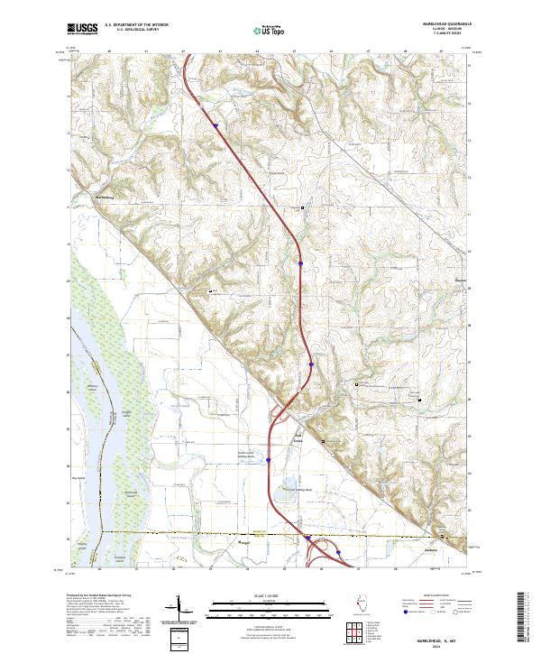
2024 Map of Marblehead
USGS Topo · Published 2024About this map
The Mississippi River corridor in Adams County defines this landscape, where the floodplain is carved by a complex network of chutes, sloughs, and ponds. The Sny and McDonald Chute wind between significant landforms like McDonald Island and Whitney Island, illustrating the dynamic nature of the river's eastern bank. Moving inland, the terrain rises into the bluffs where settlements like Bluff Hall-Gem and Marblehead are situated. This area is notable for its water management features, specifically the Austin Creek Settling Basin and Fall Creek Settling Basin, which are central to the drainage of the fertile lowlands. Local genealogy is well-represented through numerous burial grounds, including the Newmaw Family Cem and Fall Creek Chapel Cem. These sites, along with the Methodist Protestant Cem, provide specific points of interest for researchers tracing the early families and community centers of this river-border region.
Find a feature on this map
109 named features on this map. Tap any name to fly to it.
Don’t see what you’re looking for? This feature index may not catch every label — zoom into the map to look around manually.
Map Details
Editions of this 2024 Marblehead Map
This is the sole edition of this map. No revisions or reprints were ever made.
Other maps of this area

1925 · Quincy
USGS Topo · 1:62,500

1925 · Liberty
USGS Topo · 1:62,500

1927 · Liberty
USGS Topo · 1:62,500

1931 · Barry
USGS Topo · 1:62,500

1932 · Hannibal
USGS Topo · 1:62,500

1936 · Hannibal
USGS Topo · 1:48,000

1936 · Barry
USGS Topo · 1:48,000

1944 · Barry
USGS Topo · 1:62,500

1944 · Quincy
USGS Topo · 1:62,500

1945 · Hannibal
USGS Topo · 1:62,500