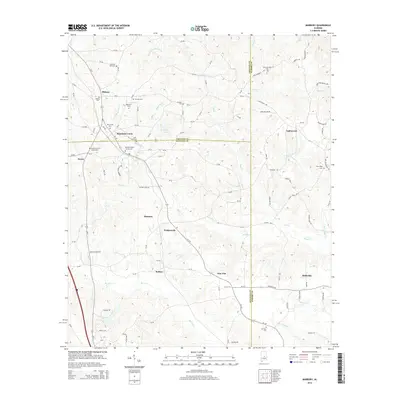
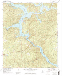
2014 Map of Marbury
USGS Topo · Published 2014About this map
Marbury and its surrounding communities sit at the junction of three Alabama counties, where the drainage systems of Mortar Cr and Shoal Cr carve through the central landscape. This 2014 survey reveals a transition from the rolling hills of Chilton County into the northern reaches of Autauga and Elmore counties. The settlement pattern is defined by rural clusters and family-named landmarks like Wadsworth, Rollins, and Pine Flat, linked by a network of state and county routes including Al-143 and Us-31.
Find a feature on this map
116 named features on this map. Tap any name to fly to it.
Don’t see what you’re looking for? This feature index may not catch every label — zoom into the map to look around manually.
Map Details
Editions of this 2014 Marbury Map
This is the sole edition of this map. No revisions or reprints were ever made.
Other maps of this area

1891 · Clanton
USGS Topo · 1:125,000

1901 · Wetumpka
USGS Topo · 1:125,000

1903 · Wetumpka
USGS Topo · 1:125,000

1953 · Montgomery
USGS Topo · 1:250,000

1956 · Montgomery
USGS Topo · 1:250,000

1957 · Montgomery
USGS Topo · 1:250,000
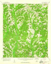
1959 · Billingsley
USGS Topo · 1:62,500
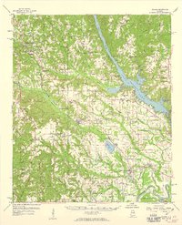
1959 · Elmore
USGS Topo · 1:62,500
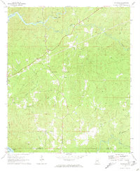
1971 · Richville
USGS Topo · 1:24,000
1971 · Mitchell Dam
USGS Topo · 1:24,000