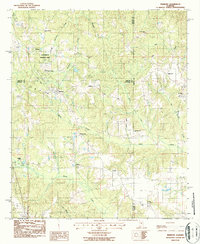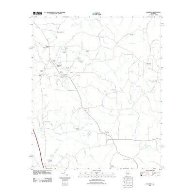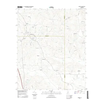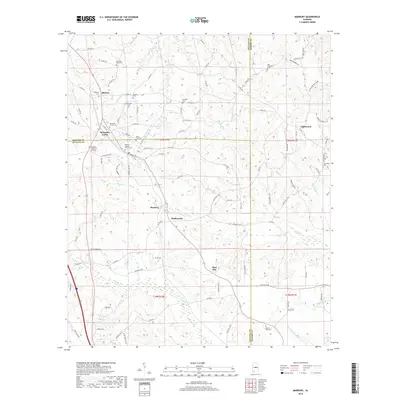
2024 Map of Marbury
USGS Topo · Published 2024About this map
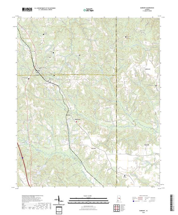
Mountain Creek and Marbury serve as central nodes in this rural stretch of central Alabama, where the borders of Chilton, Autauga, and Elmore Counties converge. The landscape is defined by its deep spiritual and community roots, evidenced by a high density of rural burial grounds including Morning Star Cem, New Harmony Baptist Church Cem, and Saint Paul Cem. These sites, often situated near minor watercourses like West Mountain Creek and Wolf Creek, offer significant points of interest for genealogical research.
Find a feature on this map
115 named features on this map. Tap any name to fly to it.
Don’t see what you’re looking for? This feature index may not catch every label — zoom into the map to look around manually.
Map Details
Editions of this 2024 Marbury Map
This is the sole edition of this map. No revisions or reprints were ever made.
Historical Maps of Marbury Through Time
6 maps found