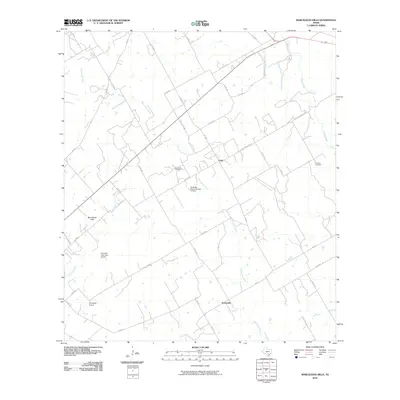
2010 Map of Marcelinas Hills
USGS Topo · Published 2010About this map
Marcelinas Hills rise above a landscape defined by ranching, oil extraction, and rural transit in Wilson County. The terrain is marked by the winding courses of Marcelinas Creek, Cibolo Creek, and Pajarito Creek, which dictate the placement of local roads and the small communities of Unity and Sunnyside. A notable industrial presence is found at the Floresville Oil Field, while aviation interests are represented by private strips like Haverlah East Farm Airport and Gillingham Airport.
Find a feature on this map
37 named features on this map. Tap any name to fly to it.
Don’t see what you’re looking for? This feature index may not catch every label — zoom into the map to look around manually.
Map Details
Editions of this 2010 Marcelinas Hills Map
This is the sole edition of this map. No revisions or reprints were ever made.
Other maps of this area

1920 · Smiley
USGS Topo · 1:125,000

1936 · Floresville
USGS Topo · 1:62,500

1942 · Dewville
USGS Topo · 1:62,500

1953 · Seguin
USGS Topo · 1:250,000

1954 · San Antonio
USGS Topo · 1:250,000

1956 · Dewville
USGS Topo · 1:62,500

1957 · San Antonio
USGS Topo · 1:250,000

1958 · Seguin
USGS Topo · 1:250,000

1958 · La Vernia SW
USGS Topo · 1:24,000

1960 · Kosciusko
USGS Topo · 1:24,000