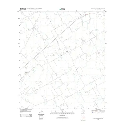
2013 Map of Marcelinas Hills
USGS Topo · Published 2013About this map
The small settlements of Unity and Sunnyside anchor this rural landscape in the heart of Wilson County, Texas. This 2013 survey illustrates a region defined by agricultural parcels and oil extraction, most notably within the Floresville Oil Field that spans the central portion of the quadrangle. The topography is shaped by the drainage systems of Cibolo Cr in the northeast and Marcelinas Cr, which winds through the namesake Marcelinas Hills in the southwest. For those researching local history, the Wheeler Cem stands as a significant genealogical landmark. The map detail reflects the modern road network, including Farm-to-Market roads and a web of county routes that connect these dispersed communities and resource-extraction sites.
Find a feature on this map
2 named features on this map. Tap any name to fly to it.
Don’t see what you’re looking for? This feature index may not catch every label — zoom into the map to look around manually.
Map Details
Editions of this 2013 Marcelinas Hills Map
This is the sole edition of this map. No revisions or reprints were ever made.
Other maps of this area

1920 · Smiley
USGS Topo · 1:125,000

1936 · Floresville
USGS Topo · 1:62,500

1942 · Dewville
USGS Topo · 1:62,500

1953 · Seguin
USGS Topo · 1:250,000

1954 · San Antonio
USGS Topo · 1:250,000

1956 · Dewville
USGS Topo · 1:62,500

1957 · San Antonio
USGS Topo · 1:250,000

1958 · Seguin
USGS Topo · 1:250,000

1958 · La Vernia SW
USGS Topo · 1:24,000

1960 · Kosciusko
USGS Topo · 1:24,000