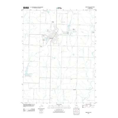
2012 Map of Marceline
USGS Topo · Published 2012About this map
Marceline serves as the central hub of this northern Missouri landscape, showing a grid of residential streets and civic landmarks including the Marceline Municipal Airport. The area is notably defined by its water management and recreation sites, with several large reservoirs such as New Marceline City Lake and Marceline Old Reservoir supporting the community. Smaller impoundments like Kussmans Lake and Doctor Charles Martin Lake are scattered across the terrain, which is drained by the Mussel Fork and Clarks Creek.
Find a feature on this map
81 named features on this map. Tap any name to fly to it.
Don’t see what you’re looking for? This feature index may not catch every label — zoom into the map to look around manually.
Map Details
Editions of this 2012 Marceline Map
This is the sole edition of this map. No revisions or reprints were ever made.
Other maps of this area

1946 · Brookfield
USGS Topo · 1:62,500

1948 · Brookfield
USGS Topo · 1:62,500

1949 · Indian Grove
USGS Topo · 1:24,000

1949 · Rothville
USGS Topo · 1:24,000

1949 · Bucklin
USGS Topo · 1:24,000

1950 · Bucklin
USGS Topo · 1:24,000

1950 · New Cambria West
USGS Topo · 1:24,000

1950 · Rothville
USGS Topo · 1:24,000

1953 · Moberly
USGS Topo · 1:250,000

1953 · Marceline
USGS Topo · 1:24,000