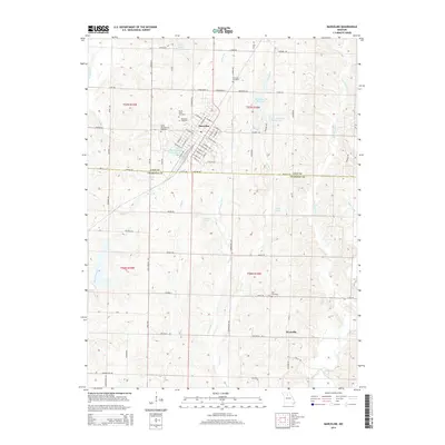
2014 Map of Marceline
USGS Topo · Published 2014About this map
Marceline serves as the primary urban center for this portion of the northern Missouri landscape, situated just above the Linn and Chariton County line. The town's grid is dense with residential and municipal streets, including W Broadway St and E Hauser St, reflecting its historical development as a significant regional hub. Surrounding the town are several community landmarks that suggest deep-rooted local history, such as the Saint Bonaventure Cemetery and Mount Olive Cemetery.
Find a feature on this map
63 named features on this map. Tap any name to fly to it.
Don’t see what you’re looking for? This feature index may not catch every label — zoom into the map to look around manually.
Map Details
Editions of this 2014 Marceline Map
This is the sole edition of this map. No revisions or reprints were ever made.
Other maps of this area

1946 · Brookfield
USGS Topo · 1:62,500

1948 · Brookfield
USGS Topo · 1:62,500

1949 · Indian Grove
USGS Topo · 1:24,000

1949 · Rothville
USGS Topo · 1:24,000

1949 · Bucklin
USGS Topo · 1:24,000

1950 · Bucklin
USGS Topo · 1:24,000

1950 · New Cambria West
USGS Topo · 1:24,000

1950 · Rothville
USGS Topo · 1:24,000

1953 · Moberly
USGS Topo · 1:250,000

1953 · Marceline
USGS Topo · 1:24,000