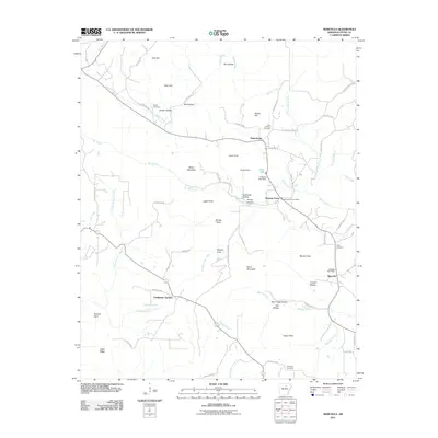
2011 Map of Marcella
USGS Topo · Published 2011About this map
Saint James and Pleasant Grove anchor the high ground of Stone County in this Arkansas survey, where the landscape is defined by a dense network of hollows and ridges. The map documents the local reliance on established centers of communication, specifically the Pleasant Grove Post Office and Marcella Post Office, which served these rural communities into the early 21st century. The terrain is marked by significant topographical landmarks such as Miller Mountain and Davis Mountain, while the hydrology is dominated by numerous branches and creeks, including Cagens Creek and Mill Creek.
Find a feature on this map
76 named features on this map. Tap any name to fly to it.
Don’t see what you’re looking for? This feature index may not catch every label — zoom into the map to look around manually.
Map Details
Editions of this 2011 Marcella Map
This is the sole edition of this map. No revisions or reprints were ever made.
Other maps of this area

1890 · Batesville
USGS Topo · 1:125,000

1891 · Batesville
USGS Topo · 1:125,000

1892 · Mountain View
USGS Topo · 1:125,000

1894 · Mountain View
USGS Topo · 1:125,000

1942 · Bethesda
USGS Topo · 1:24,000

1942 · Almond
USGS Topo · 1:31,680

1942 · Mt Pleasant
USGS Topo · 1:31,680

1953 · Memphis
USGS Topo · 1:250,000

1956 · Memphis
USGS Topo · 1:250,000

1956 · Russellville
USGS Topo · 1:250,000