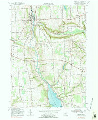
1955 Map of Marcellus
USGS Topo · Published 1978About this map
Ninemile Creek carves a deep path through the Onondaga County landscape, anchoring the village of Marcellus and defining the local topography. This 1955 revision shows a rural network of farm-to-market roads such as Beef Street and Rockwell Road, connecting small upland settlements like Navarino, Marietta, and Rose Hill. The northern tip of Otisco Lake reaches into the southern portion of the map at The Narrows, surrounded by recreation points like Heath Grove and Glen Cove.
Find a feature on this map
80 named features on this map. Tap any name to fly to it.
Don’t see what you’re looking for? This feature index may not catch every label — zoom into the map to look around manually.
Map Details
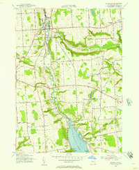
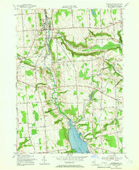
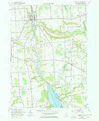
Editions of this 1955 Marcellus Map
4 editions found
Other maps of this area

1895 · Syracuse
USGS Topo · 1:62,500

1898 · Syracuse
USGS Topo · 1:62,500

1899 · Skaneateles
USGS Topo · 1:62,500

1900 · Baldwinsville
USGS Topo · 1:62,500

1900 · Tully
USGS Topo · 1:62,500

1902 · Skaneateles
USGS Topo · 1:62,500

1939 · Syracuse West
USGS Topo · 1:24,000

1943 · South Onondaga
USGS Topo · 1:31,680

1943 · Jordan
USGS Topo · 1:31,680

1943 · Spafford
USGS Topo · 1:31,680