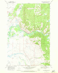
1968 Map of Marcum Mountain
USGS Topo · Published 1971About this map
Helena National Forest lands dominate the eastern and central elevations of this Montana landscape, where the peaks of Marcum Mountain and Mineral Hill rise above the surrounding valley floors. The Blackfoot River carves a winding path through the center of the sheet, supported by a network of tributaries including Arrastra Creek and Ward Creek. To the northwest, the level terrain of Kleinschmidt Flat is dotted with water bodies like Deadmans Lake and Browns Lake, indicating a shift from the steep timbered slopes to more open ranching or grazing country. Evidence of local land use is seen in the North Helmville Canal and several Gravel Pits and Prospects, marking the small-scale industrial and agricultural modifications made to this Powell County terrain during the late 1960s.
Find a feature on this map
24 named features on this map. Tap any name to fly to it.
Don’t see what you’re looking for? This feature index may not catch every label — zoom into the map to look around manually.
Map Details
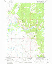
Editions of this 1968 Marcum Mountain Map
2 editions found
Other maps of this area

1889 · Helena
USGS Topo · 1:250,000

1893 · Helena
USGS Topo · 1:250,000

1899 · Helena
USGS Topo · 1:250,000

1902 · Ovando
USGS Topo · 1:125,000

1903 · Coopers Lake
USGS Topo · 1:125,000

1903 · Helena
USGS Topo · 1:250,000

1905 · Ovando
USGS Topo · 1:125,000

1919 · Drummond
USGS Topo · 1:125,000

1921 · Drummond
USGS Topo · 1:125,000

1947 · Butte
USGS Topo · 1:250,000