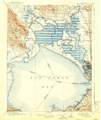
1916 Map of Mare Island
USGS Topo · Published 1942About this map
San Pablo Bay serves as the central focal point for this pre-World War I survey, capturing a complex interface of tidelands, marshes, and early industrial development. The Napa River and Petaluma Creek feed into the northern reaches of the bay, surrounding a network of low-lying landforms like Tubbs Island, Knight Island, and Island No 1. On the eastern shore, the urban footprint of Vallejo is clearly defined, positioned strategically across from the Mare Island naval facilities.
Find a feature on this map
84 named features on this map. Tap any name to fly to it.
Don’t see what you’re looking for? This feature index may not catch every label — zoom into the map to look around manually.
Map Details
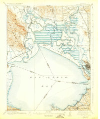
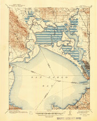
Editions of this 1916 Mare Island Map
4 editions found

Other maps of this area

1895 · San Francisco
USGS Topo · 1:62,500

1896 · Carquinez Strait
USGS Topo · 1:62,500

1897 · Concord
USGS Topo · 1:62,500

1897 · Tamalpais
USGS Topo · 1:62,500

1898 · Karquines
USGS Topo · 1:62,500

1899 · San Francisco
USGS Topo · 1:62,500

1901 · Karquines
USGS Topo · 1:62,500

1902 · Napa
USGS Topo · 1:125,000

1914 · Petaluma
USGS Topo · 1:62,500

1915 · Concord
USGS Topo · 1:62,500