
1916 Map of Mare Island
USGS Topo · Published 1916About this map
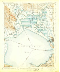
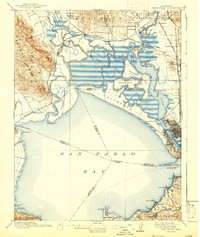
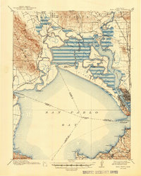
Mare Island Navy Yard anchors the industrial and maritime character of this early twentieth-century coastal landscape, where the waters of the Napa River and Carquinez Strait converge at the northern reaches of San Pablo Bay. The survey documents a complex network of tidal sloughs and marshy islands, including Knight Island and Tubbs Island, before modern reclamation projects fully transformed the shoreline. Inland, the arrival of the Northwestern Pacific and Southern Pacific railroads supported agricultural outposts like Shellville Colony and Wingo, while industrial activity is evident at the Quarries near Fairville and the shoreline facilities at Oleum and Hercules. From the Fly School in the north to the Refugio Lodge on the southern shore, this map details the intersection of California's growing rail economy with its natural estuary environment.
Find a feature on this map
91 named features on this map. Tap any name to fly to it.
Don’t see what you’re looking for? This feature index may not catch every label — zoom into the map to look around manually.
Map Details
Editions of this 1916 Mare Island Map
4 editions found
Other maps of this area

1895 · San Francisco
USGS Topo · 1:62,500

1896 · Carquinez Strait
USGS Topo · 1:62,500

1897 · Concord
USGS Topo · 1:62,500

1897 · Tamalpais
USGS Topo · 1:62,500

1898 · Karquines
USGS Topo · 1:62,500

1899 · San Francisco
USGS Topo · 1:62,500

1901 · Karquines
USGS Topo · 1:62,500

1902 · Napa
USGS Topo · 1:125,000

1914 · Petaluma
USGS Topo · 1:62,500

1915 · Concord
USGS Topo · 1:62,500