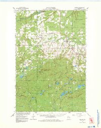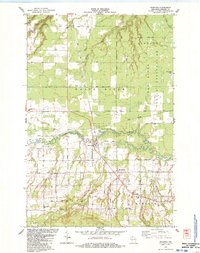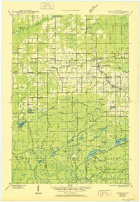
1945 Map of Marengo
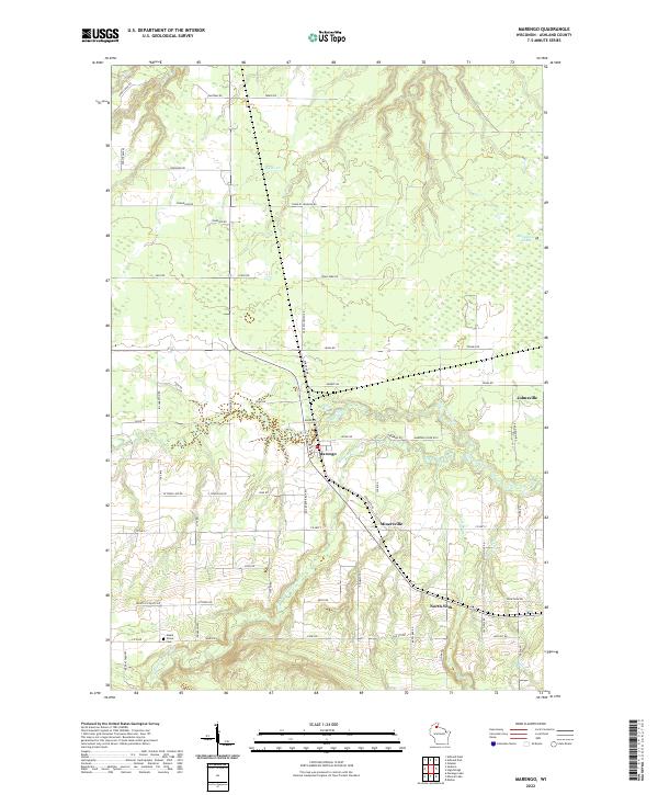
USGS Topo · Published 1950About this map
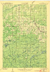
The Marengo River and its many tributaries, including Deer Creek and the Brunsweiler River, define this wooded landscape of Northern Wisconsin. At the time of this survey, the area was a hub of rural infrastructure and heavy transport, marked by a dense concentration of neighborhood schools like Maple Ridge Sch and Agnew Sch. The northern portion of the map is dominated by the Sanborn Indian Reservation and the settlement of Sanborn, while the southern half transitions into the Chequamegon National Forest. The rail network was particularly robust here, with the Minneapolis St Paul and Sault Ste Marie Railroad and the Duluth South Shore and Atlantic Railroad intersecting at Marengo. These lines, along with the Lake Superior Power Plant on the White River, illustrate an era of significant industrial and logistical activity in the timber-rich highlands of Ashland County.
Find a feature on this map
54 named features on this map. Tap any name to fly to it.
Don’t see what you’re looking for? This feature index may not catch every label — zoom into the map to look around manually.
Map Details
Editions of this 1945 Marengo Map
2 editions found
Historical Maps of Sanborn Through Time
9 maps found