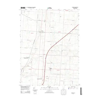
2013 Map of Marengo
USGS Topo · Published 2013About this map
Marengo and Fulton anchor this Morrow County landscape, where Interstate 71 cuts through a region defined by its numerous small burial grounds and rural crossroads. The settlement pattern is deeply rooted in the 19th-century church and cemetery system, with local sites like Woodbury Methodist Episcopal Cem and Alum Creek Cem providing critical data points for family historians. The terrain is defined by the branching tributaries of Alum Cr and Big Walnut Cr, which dictate the winding paths of township roads and the placement of older communities such as South Woodbury and Bennington Springs. Recent developments like Walnut Creek Farms appear alongside long-standing landmarks, showing the modernization of a traditional agricultural area through the early 21st century.
Find a feature on this map
69 named features on this map. Tap any name to fly to it.
Don’t see what you’re looking for? This feature index may not catch every label — zoom into the map to look around manually.
Map Details
Editions of this 2013 Marengo Map
This is the sole edition of this map. No revisions or reprints were ever made.
Other maps of this area

1913 · Mount Gilead
USGS Topo · 1:62,500

1915 · Shauck
USGS Topo · 1:62,500

1915 · Marengo
USGS Topo · 1:62,500

1915 · Fredericktown
USGS Topo · 1:62,500

1916 · Mount Gilead
USGS Topo · 1:62,500

1943 · Shauck
USGS Topo · 1:62,500

1943 · Marengo
USGS Topo · 1:62,500

1943 · Mount Gilead
USGS Topo · 1:62,500

1943 · Fredericktown
USGS Topo · 1:62,500

1950 · Marion
USGS Topo · 1:250,000