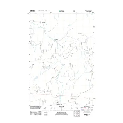
2011 Map of Marenisco
USGS Topo · Published 2011About this map
Marenisco serves as the primary hub of this Northwoods landscape, situated near the southern edge of the quadrangle where the Marenisco Post Office and Marenisco Township Cemetery anchor the local community. The Presque Isle River winds significantly through the center of the terrain, joined by numerous tributaries including Kinnickinnic Creek, Prospectors Creek, and Little Giant Creek. These waterways, punctuated by features like Yondota Falls, define the local drainage patterns and historically influenced the placement of transportation routes.
Find a feature on this map
35 named features on this map. Tap any name to fly to it.
Don’t see what you’re looking for? This feature index may not catch every label — zoom into the map to look around manually.
Map Details
Editions of this 2011 Marenisco Map
This is the sole edition of this map. No revisions or reprints were ever made.
Other maps of this area

1955 · Marenisco
USGS Topo · 1:62,500

1955 · Marenisco
USGS Topo · 1:24,000

1955 · Wakefield
USGS Topo · 1:62,500

1955 · Wakefield NE
USGS Topo · 1:24,000

1956 · Bergland
USGS Topo · 1:62,500

1956 · Thomaston
USGS Topo · 1:62,500

1958 · Iron River
USGS Topo · 1:250,000

1960 · Iron River
USGS Topo · 1:250,000

1961 · Iron River
USGS Topo · 1:250,000

1967 · Iron River
USGS Topo · 1:250,000