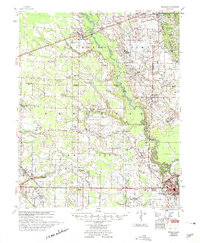
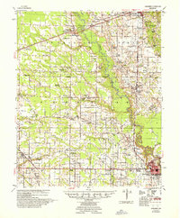
1957 Map of Marianna
USGS Topo · Published 1975About this map
The L'Anguille River and Big Creek dominate this mid-century landscape where agricultural life centers on numerous country churches and small schools. The city of Marianna serves as a regional hub near the Head of Navigation, while smaller settlements like Haynes, Palestine, and Moro anchor the rural landscape. This survey reveals a high density of combined community institutions, such as Mt Moriah Ch Sch & Cem and Spring Grove Ch & Sch, suggesting the era's reliance on localized social centers before further consolidation. Transportation is defined by the Chicago Rock Island and Pacific and Missouri Pacific railroads, which parallel the early road network. Genealogists will find significant value in the mapped locations of numerous family-named landmarks and cemeteries, including Westley Cem and the Hawkins Chapel & Cem, situated along the winding creeks and sloughs of Lee County.
Find a feature on this map
91 named features on this map. Tap any name to fly to it.
Don’t see what you’re looking for? This feature index may not catch every label — zoom into the map to look around manually.
Map Details
Editions of this 1957 Marianna Map
2 editions found
Other maps of this area

1939 · Park Place
USGS Topo · 1:62,500

1939 · Wynne
USGS Topo · 1:62,500

1939 · Hunter
USGS Topo · 1:62,500

1939 · Latour
USGS Topo · 1:62,500

1940 · Marvell
USGS Topo · 1:62,500

1940 · Whitmore
USGS Topo · 1:62,500

1940 · Holly Grove
USGS Topo · 1:62,500

1940 · Brinkley
USGS Topo · 1:62,500

1940 · Marianna
USGS Topo · 1:62,500

1948 · Helena
USGS Topo · 1:250,000