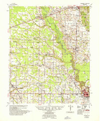
1957 Map of Marianna
USGS Topo · Published 1957About this map
The L'Anguille River and the Chicago Rock Island and Pacific railroad define the transportation and settlement corridors of central Lee County in this mid-century survey. The landscape is dotted with small agricultural nodes and named family landmarks, particularly around Marianna and Palestine. The map records a dense network of rural community centers, often centered on combined institutions like Mt Moriah Ch Sch & Cem or Spring Grove Ch & Sch.
Find a feature on this map
93 named features on this map. Tap any name to fly to it.
Don’t see what you’re looking for? This feature index may not catch every label — zoom into the map to look around manually.
Map Details
Editions of this 1957 Marianna Map
2 editions found
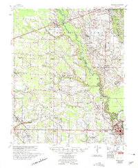
Other maps of this area

1939 · Park Place
USGS Topo · 1:62,500

1939 · Wynne
USGS Topo · 1:62,500

1939 · Hunter
USGS Topo · 1:62,500

1939 · Latour
USGS Topo · 1:62,500

1940 · Marvell
USGS Topo · 1:62,500

1940 · Whitmore
USGS Topo · 1:62,500

1940 · Holly Grove
USGS Topo · 1:62,500

1940 · Brinkley
USGS Topo · 1:62,500

1940 · Marianna
USGS Topo · 1:62,500

1948 · Helena
USGS Topo · 1:250,000