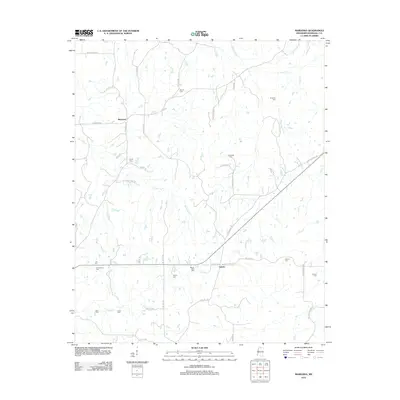
2012 Map of Marianna
USGS Topo · Published 2012About this map
The small settlement of Marianna serves as the focal point for this section of Marshall County, characterized by a complex network of creeks and numerous family-named burial grounds. Significant waterways like Pigeon Roost Cr and Cuffawa Cr carve through the landscape, dictating the placement of early homesteads and cemeteries. Genealogists will find a concentration of historic sites, including the Chulahoma Cem, Mount Gillie Cem, and Nunnally Cem. The map illustrates a rural continuity, where local life follows established routes like Old Hwy 4 and Laws Hill Rd. The distribution of burial sites like the Dean Cem and Wilkins Cem suggests the historical footprint of prominent families throughout the northern Mississippi countryside during the early 21st century.
Find a feature on this map
52 named features on this map. Tap any name to fly to it.
Don’t see what you’re looking for? This feature index may not catch every label — zoom into the map to look around manually.
Map Details
Editions of this 2012 Marianna Map
This is the sole edition of this map. No revisions or reprints were ever made.
Other maps of this area

1944 · Tyro
USGS Topo · 1:62,500

1944 · Potts Camp
USGS Topo · 1:62,500

1945 · Potts Camp
USGS Topo · 1:62,500

1948 · Byhalia
USGS Topo · 1:62,500

1953 · Holly Springs
USGS Topo · 1:62,500

1956 · Tupelo
USGS Topo · 1:250,000

1958 · Tupelo
USGS Topo · 1:250,000

1964 · Waterford
USGS Topo · 1:24,000
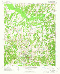
1965 · Holly Springs
USGS Topo · 1:24,000
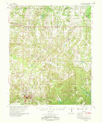
1969 · Holly Springs
USGS Topo · 1:62,500