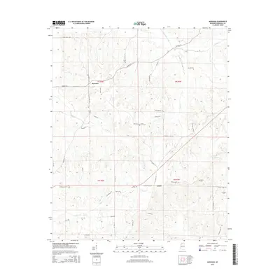
2015 Map of Marianna
USGS Topo · Published 2015About this map
Marianna and Galena sit within a landscape of winding creeks and rural crossroads in Marshall County, Mississippi. This 2015 survey reveals a terrain deeply carved by the drainage systems of Pigeon Roost Creek and its tributaries, including Cuffawa Cr and Nunnally Cr. The distribution of family and community burial sites, such as Marvel Cem, Nunnally Cem, and Mount Gillie Cem, suggests a long-standing pattern of dispersed agrarian settlement typical of northern Mississippi.
Find a feature on this map
53 named features on this map. Tap any name to fly to it.
Don’t see what you’re looking for? This feature index may not catch every label — zoom into the map to look around manually.
Map Details
Editions of this 2015 Marianna Map
This is the sole edition of this map. No revisions or reprints were ever made.
Other maps of this area

1944 · Tyro
USGS Topo · 1:62,500

1944 · Potts Camp
USGS Topo · 1:62,500

1945 · Potts Camp
USGS Topo · 1:62,500

1948 · Byhalia
USGS Topo · 1:62,500

1953 · Holly Springs
USGS Topo · 1:62,500

1956 · Tupelo
USGS Topo · 1:250,000

1958 · Tupelo
USGS Topo · 1:250,000

1964 · Waterford
USGS Topo · 1:24,000
1965 · Holly Springs
USGS Topo · 1:24,000
1969 · Holly Springs
USGS Topo · 1:62,500